
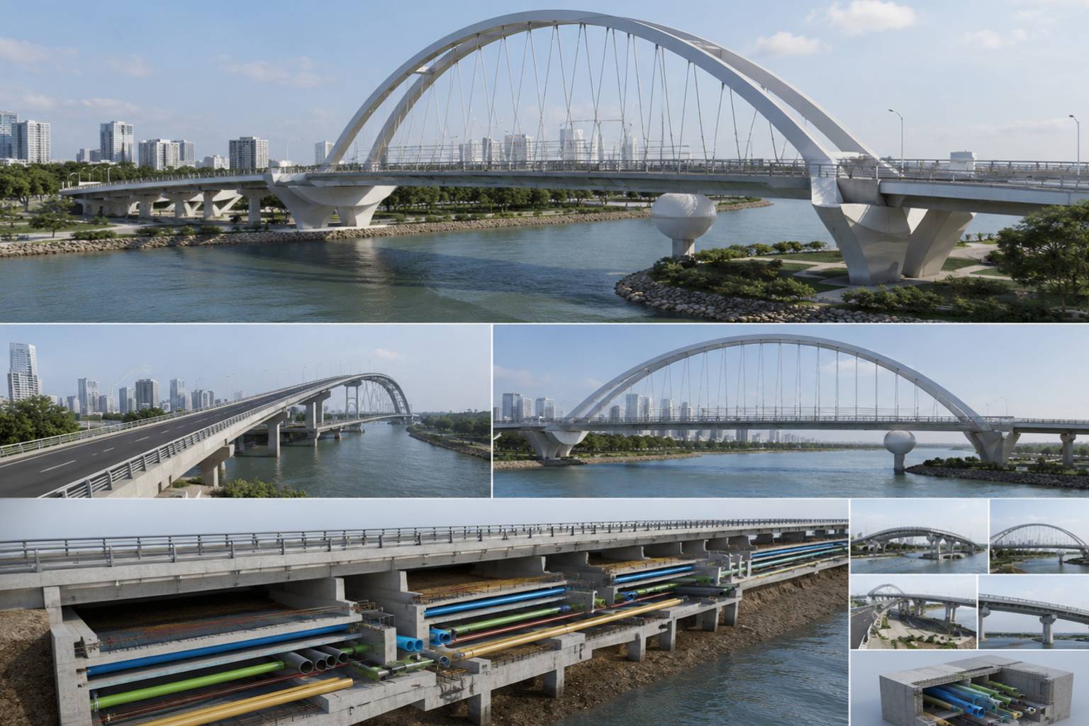
Infrastructure projects are becoming more complex including roads, transport systems, utilities, bridges and city developments demand ever higher levels of precision, coordination and control. Infrastructure Building Information Modeling (BIM) is a data-driven process that helps project teams to plan, design, coordinate, construct and manage infrastructure more efficiently.
Infrastructure BIM delivers a coordinated digital model of infrastructure assets. It combines geometry, engineering data, project requirements and design information to help architects, engineers, contractors and other stakeholders make smarter decisions throughout the project lifecycle.
Infrastructure BIM can help reduce errors, improve coordination, optimize design, and provide reliable project information from the feasibility studies and tendering through the detailed design, construction, and asset management phases.
What Is Infrastructure BIM?
BIM for infrastructure is the process of generating and managing intelligent digital representations of civil infrastructure projects. These models can represent the physical components of roads, utilities, transport systems, structures, terrain, drainage and other infrastructure assets.
BIM for infrastructure is not only 3D visualization. It links geometry to useful project data, allowing teams to collaborate across disciplines, study design alternatives, identify potential clashes and enable better informed choices.
- Infrastructure BIM Model
- Point Cloud to BIM
- From CAD to BIM
- BIM Services
- 3D Infrastructure Modelling
- Coordination in Design
- Clash Detection
- BIM Modelling As Built
- Information Management for Assets
Why Is Infrastructure BIM Needed?
Large infrastructure projects are multi-disciplinary and involve large geographical areas, complex engineering systems and numerous stakeholders. Roads, utilities, drainage, structures, terrain and other elements need to work together properly.
BIM can assist in design interpretation, quantity related information, visualization, constructability assessment and coordination review. A better understanding of the project can reduce uncertainty and improve communication in the tendering process.
Infrastructure BIM Modeling Supports Road corridor modeling, Profile modeling and alignment, Terrain modeling, Modeling of intersections, Coordination of drainage, Infrastructure visualization, and Plans for construction By combining these elements into a coordinated digital environment, potential conflicts can be flagged before they become costly site problems.
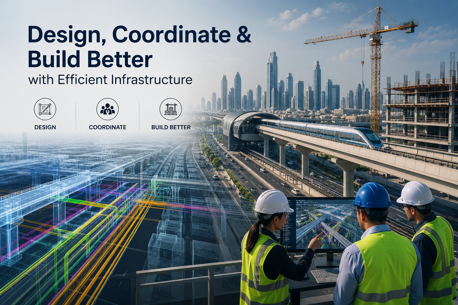
The infrastructure BIM can support the coordination of:
In the traditional workflow it is difficult to detect conflicts between different disciplines. Changing one design element could affect other systems and result in redesign, delays, extra costs and construction rework. Infrastructure BIM provides a collaborative digital setting where project information can be created, reviewed and managed more effectively.
Key benefits include:
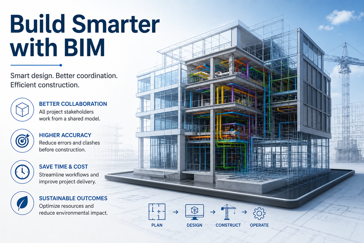
Coordinated Design Improvements : Different engineering disciplines are able to share coordinated project information thru a common BIM environment which helps to reduce discrepancies between the design packages.
Fewer Errors and Rework Potential clashes, design conflicts and information gaps can be found earlier, reducing expensive changes during construction.
Improved Design Visualization 3D models increase the understanding of complex infrastructure systems and their spatial relationships to the stakeholders.
Better cost-control Accurate digital models can help in quantity extraction, design evaluation and project planning to give better information for cost estimation.
Infrastructure BIM Across the Project Lifecycle
The benefits are huge, but there are a number of challenges that could crop up:
- 1. Stakeholder agreement on LOD required per phase
- 2. Over model elements not required at a project stage
- 3. Badly modeled elements that require costly rework later on
- 4. shortage of qualified BIM professionals to apply regular LOD standards
- 5. Large, multi-disciplinary projects require precision in applying LOD standards.
These challenges can be efficiently overcome with right planning, clear LOD matrix and experienced BIM specialist.
Overview
Today's construction, renovation, infrastructure and facility management projects are based on the concept of the level of development. Better for the project, better for accuracy, better for the cost, better for the coordination of project teams is to define the reliability of the model at each step.
As BIM workflows evolve to produce more intelligent, efficient and sustainable built environments, LOD will remain a critical consideration.
With increasing project complexity, the need for well-defined model accuracy is increasing. In the world of BIM, LOD is the bridge between design intent and project reality, creating BIM models that are reliable, data-rich tools throughout the project.
Leave a Reply
Your email address will not be published.